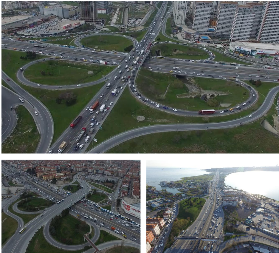
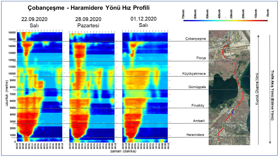
The problems of the approximately 15 km long highway corridor between the Haramidere and Çobançeşme intersections of the D100 Highway, which is within the responsibility area of the Istanbul Metropolitan Municipality, have been identified from a transportation perspective and solutions have been proposed. In this context, factors and locations affecting the road capacity of the corridor were identified by utilizing field observation and technological applications (Floating Car Data (FCD), drone images, etc.). In order to increase the traffic efficiency and safety of the corridor, solutions were proposed taking into consideration the current urban development status by using classical engineering methods and intelligent transportation systems with the help of PTV Vissim and CAD applications. Project components within the scope of this study:
- Assessment of the current state of the corridor
- Findings from field studies
- Traffic count study
- Field survey trips and travel time measurements
- Drone shots
- Findings obtained with Floating Car Data (FCD)
- Findings from field studies
- Development of corridor improvement proposals
- Simulation modeling


